The Atlas · South Africa
Augrabies Falls
The Orange River throws itself into a granite gorge in the middle of the Northern Cape desert.
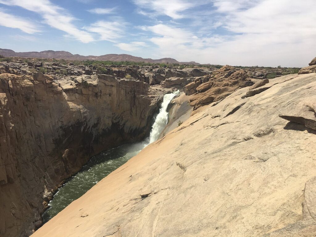
Augrabies Falls is where the Orange River, South Africa's longest, drops about 56 metres into an 18-kilometre granite gorge. The setting is desert: polished rock, quiver trees and klipspringer, with the roar of the water audible long before you see it.
Why visit Augrabies Falls
Boardwalks lead to viewpoints over the main fall, and the national park has hiking trails, night drives and the three-day Klipspringer trail. Black rhinos, giraffes and gemsbok live in the park, and the stargazing is outstanding.
Best time to visit Augrabies Falls
Flow peaks between December and April, after summer rains upstream. Winter is cold at night but bright and calm.
How to get to Augrabies Falls
Fly to Upington and drive 120 km west, or include Augrabies on a road trip to the Kgalagadi.
The gorge and the park
At Augrabies, the Orange River drops about 56 metres into a granite gorge some 18 kilometres long. The Khoi name means "place of great noise". Boardwalks and viewing platforms lead from the rest camp to the main fall and the gorge. The national park around it is semi-desert, with klipspringers, rock dassies, giraffes and, in places, black rhinos, and lookout points such as Ararat and Oranjekom over the gorge.
Practical information
Augrabies Falls National Park has a rest camp with chalets, a campsite, a restaurant and a shop, and conservation fees are charged at the gate. The falls are strongest after summer rains upstream, from about December to April. Summers are very hot; walk early or late. Keep to the walkways: the polished granite near the gorge is slippery, and people have fallen.
Pair Augrabies Falls with a safari
Augrabies sits naturally on a route to the red dunes and black-maned lions of the Kgalagadi Transfrontier Park.
Tips for visiting Augrabies Falls
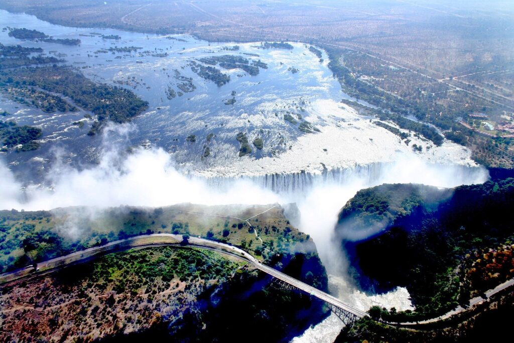
Use the boardwalks and stay behind barriers: the granite is smooth and has claimed lives. Visit the falls at dawn and dusk, when the gorge glows red, and take a night drive in the park. For planning, see our South Africa guide and the month-by-month water levels, or compare it with Africa's two most visited falls, Victoria Falls and Murchison Falls.
National parks and sights nearby
- Augrabies Falls National Park
- Kgalagadi Transfrontier Park
- Namaqualand
Frequently asked questions
How high is Augrabies Falls?
Augrabies Falls is about 56 m, and about gorge 18 km long wide. It is on the Orange (Gariep) in South Africa.
When is the best time to visit Augrabies Falls?
December–April, after summer rain upstream. Flow peaks between December and April, after summer rains upstream.
How do I get to Augrabies Falls?
The nearest town is Kakamas and Upington, Northern Cape. Fly into Upington (UTN), 1.5 hours by road.
Can I combine Augrabies Falls with a safari?
Augrabies sits naturally on a route to the red dunes and black-maned lions of the Kgalagadi Transfrontier Park.
At a glance
Augrabies Falls
- Country
- South Africa
- River
- Orange (Gariep)
- Height
- about 56 m
- Width
- gorge 18 km long
- Type
- Gorge plunge
- Best time
- December–April, after summer rain upstream
- Nearest town
- Kakamas and Upington, Northern Cape
- Fly to
- Upington (UTN), 1.5 hours by road
Water levels by month
- JJan: High water
- FFeb: High water
- MMar: High water
- AApr: Moderate water
- MMay: Low water
- JJun: Low water
- JJul: Low water
- AAug: Low water
- SSep: Low water
- OOct: Low water
- NNov: Moderate water
- DDec: Moderate water
Low Moderate High
Tailor-made
Plan a trip to Augrabies Falls
Every journey is built around your dates, budget and the water levels at the falls. Tell us what you have in mind and we will reply with ideas and a quote.
Start an enquiryOr email dusk2dawn.explorers@gmail.com or call +256 709 780 625